513 Williams Ave.
P.O. Box 166
Estancia, NM 87016
Open Mon-Thurs
Phone: (505) 384-2708

513 Williams Ave.
P.O. Box 166
Estancia, NM 87016
Open Mon-Thurs
Phone: (505) 384-2708
Spaniard met Indian at Estancia at some point between 1598, when Oñate’s large band of colonists came from Mexico (Coronado, who came here in 1540, didn’t mention Estancia), and 1779, when the map was drawn. But what happened before that?
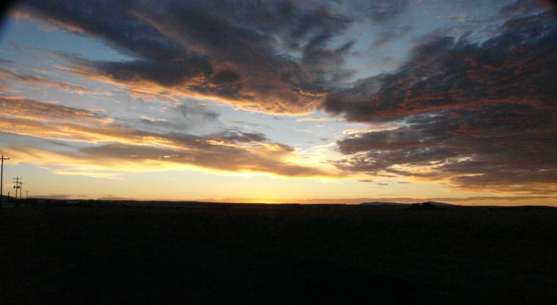
Let’s look at the terrain. The Town of Estancia, situated near the center of the valley and basin of the same name, has an official elevation of 6,103 feet above sea level. A north-south string of mountain ranges lines the west side of the valley, separating it from the Río Grande Valley. From the south these are the Manzano (Apple Tree), Manzanita (Little Apple), and Sandía (Watermelon) ranges. These are new mountains, geologically speaking: they began forming about 30 million years ago, when the bottom fell out of what is called the Río Grande Rift, and they are still growing. They are part of the same huge chain that includes the Rocky Mountains to the north and the Sierra Madre range to the south in Mexico.
Along the east side of the valley is a string of rocky hills, the last visible remnants of a much older (around 300 million years) mountain chain that once ran from what is now Mexico into what is now Colorado. These are the Pedernal (Flint) Hills.
To the south is the Chupadera (Sucker or Sinkhole – the meaning is unclear – perhaps there were lots of ticks there) Mesa. To the north the land rises gradually to a big drop-off into the Galistéo Basin, where once all geologic hell broke loose, and to the northwest are the gold-bearing Ortiz (a surname) Mountains.
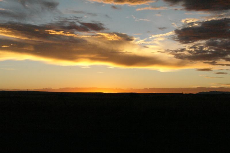
In the center of the Estancia Basin, at its lowest elevation, there is a chain of saline playas, or intermittent salt lakes. These are all that’s left of a much larger lake.
During the Ice Age, New Mexico was a cooler, wetter place. There were even glaciers at the higher elevations. In the Estancia Basin and in several similar basins across the state there were relatively permanent fresh water lakes. Lake Estancia was the largest, covering almost 700 square miles.
These lakes lasted a very long time, to our way of thinking. We know this in part because when the lakes were full they were home to lots of tiny, shrimp-like creatures whose remains can be carbon-dated. When the lakes became shallow, another shrimp flourished. The tiny skeletons of these creatures are found along the shoreline of ancient Lake Estancia, which can be seen at many places in the valley. Many of the valley’s gravel pits are along it, where creeks and streams came down from the mountains.
Scientists have found that Lake Estancia’s surface was just shy of 6,200 feet above sea level. That means that today’s townsite was under almost 100 feet of water. This level was maintained for most of the time between 24,000 and 12,000 years ago. Occasionally the water level would dip to lower levels for a few centuries, but then it would fill again. It never exceeded 6,200 feet, so there was apparently an outlet at that elevation.
The lake filled again, at least partially, several times as the Ice Age came to an end. The most recent time was only about 7,000 years ago, a blink of the eye in geological time. One scientist calculated that with 70% more precipitation and 40% less evaporation than we get now the lake would begin to fill again.
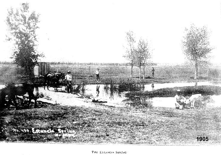
The Estancia Valley can be compared to a big bowl filled with dirt. That dirt is the remnant of thousands of years of dust and runoff and organic sediment settling in the lake. It’s deepest in the center of the valley; below it is much less permeable limestone. The dirt is wet, too, under the surface. Today we mine the water beneath us at an unsustainable rate, but before irrigation really got started, in the 1950s, there were running springs scattered across the valley. Several of them were clustered at Estancia, where they fed a shallow lake. This is why there was a village here.
Estancia probably served as a camping site for thousands of years. It was undoubtedly well known to the nomadic tribes that hunted here, and it was near one of the only surface deposits of salt in the region. The distinctive points (arrowheads) of Folsom Man have been found in the valley, indicating a presence some 10,000 to 11,000 years ago. Perhaps these early people lived along the lake shore. Sandía Man, thought to have lived before that, had his famous cave on the north end of the mountains after which he was named, and he was probably familiar with nearby Lake Estancia.
The history of those who lived here that long ago is written only in rare and durable artifacts. This was before the agricultural revolution, and thus before the pueblo era. Everybody was a hunter-gatherer then.
13 images

Town Hall
PO Box 166 Estancia, NM 87016
505 384 2708 ext 1
Mayor: 5057050044
 Park
Park Pool
Pool Library
 Free Online Tech Classes